
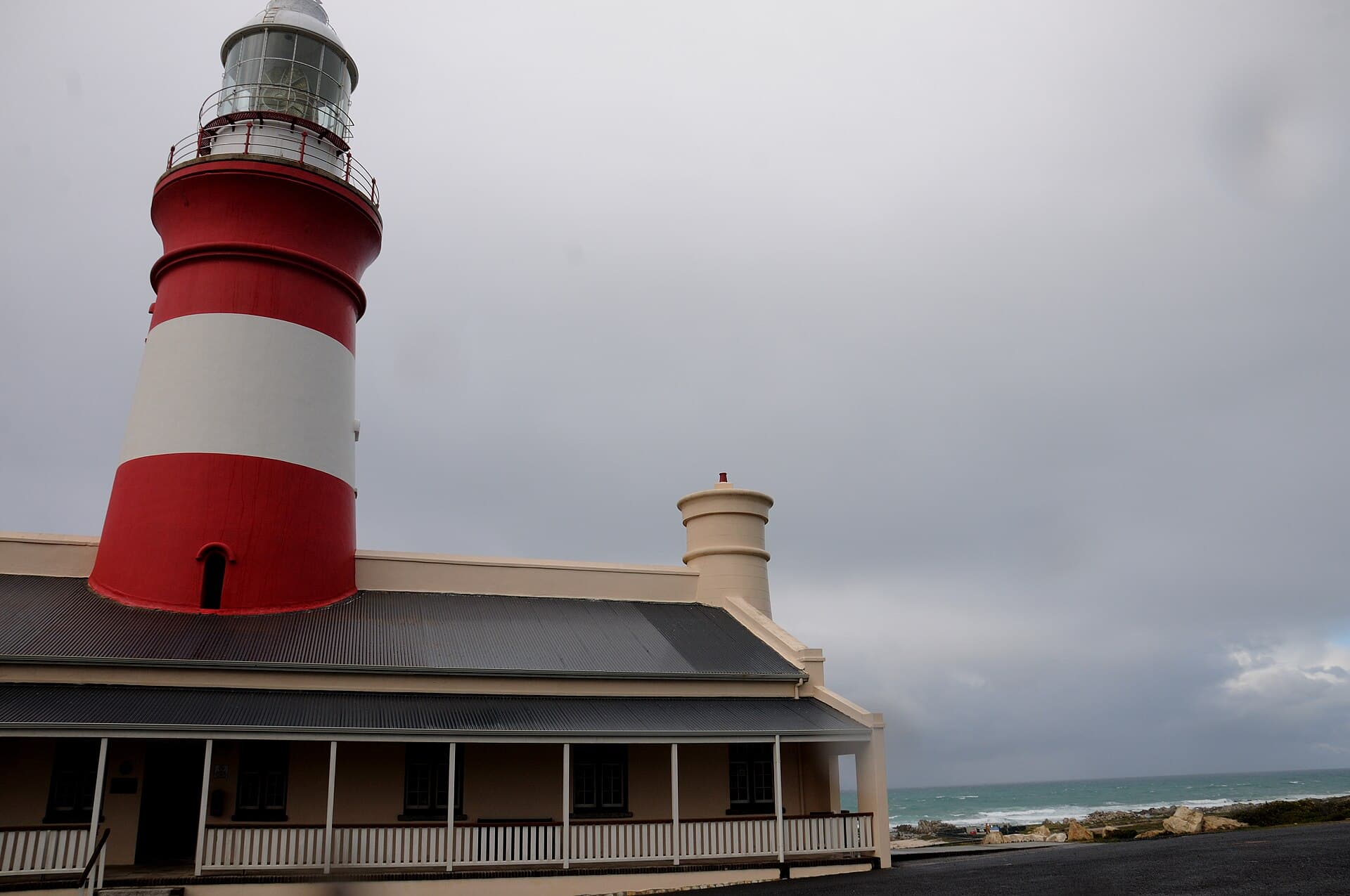
 Josep M. Gracia, CC BY-SA 4.0 / Wikimedia Commons
Лучшее время для визита
С сентября по ноябрь — южные гладкие киты и весенний финбос; приятно и доступно круглый год.
Мыс Игольный — географическая южная оконечность африканского континента, а вовсе не более знаменитый мыс Доброй Надежды, который лежит примерно в 150 км к западо-северо-западу. По версии Международной гидрографической организации, именно здесь проходит традиционная граница между Атлантическим и Индийским океанами, хотя на практике тёплое Агульясское и холодное Бенгельское течения смешиваются в зоне, которая смещается от сезона к сезону. Каменный тур и плита с картой на низком скалистом берегу позволяют буквально постоять на самом краю Африки.
Над мысом возвышается маяк Игольного мыса, введённый в строй 1 марта 1849 года и построенный в классическом стиле египетского Фароса. Считается, что это второй по возрасту действующий маяк Южной Африки; внутри — единственный, как утверждают, в стране музей маячного дела и небольшой ресторан. Его огонь проводит суда мимо побережья, давно печально известного как кладбище кораблей, подошедших слишком близко к суше.
Мыс находится в границах национального парка «Агульяс» площадью около 20 000 га, который охраняет исчезающий равнинный финбос, водно-болотные угодья и усеянный обломками кораблей берег, богатый птицами. Зимой и весной в соседние закрытые бухты приходят выводить потомство южные гладкие киты, порой подплывая совсем близко к суше. Как и вся Западно-Капская провинция, эти места свободны от малярии, так что дальний южный край континента доступен круглый год и без лишних хлопот.
Источники 69, 141, 187, 269, 274, 294
Ещё по теме: Природа и ландшафты
 Природа и ландшафтыСеверо-Капская провинция
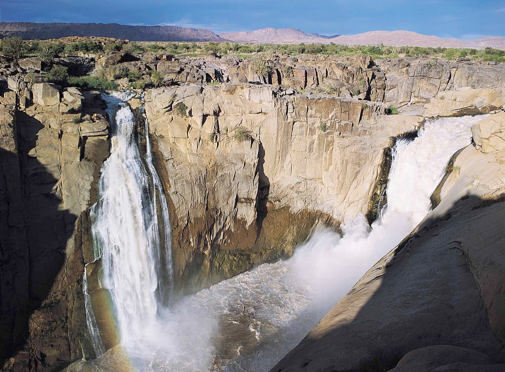
Национальный парк Ауграбис-Фолс
Оранжевая река собирает воды в пустынях Северо-Капской провинции, а затем срывается с гранитного уступа на 56 метров в ущелье, которому кой дали имя по его грохоту — «место великого шума».
Проверено · 4 источника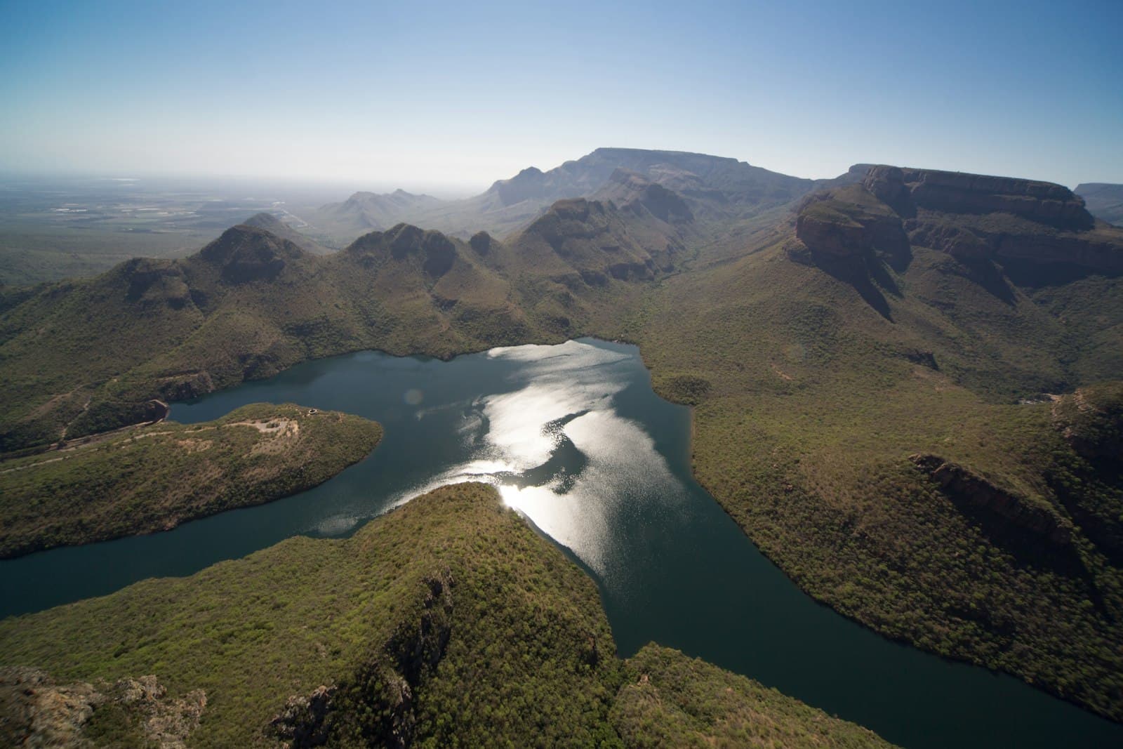 Природа и ландшафтыМпумаланга
Каньон реки Блайд
Огромный каньон в зелёных стенах — главная жемчужина Панорамного маршрута.
Проверено · 1 источник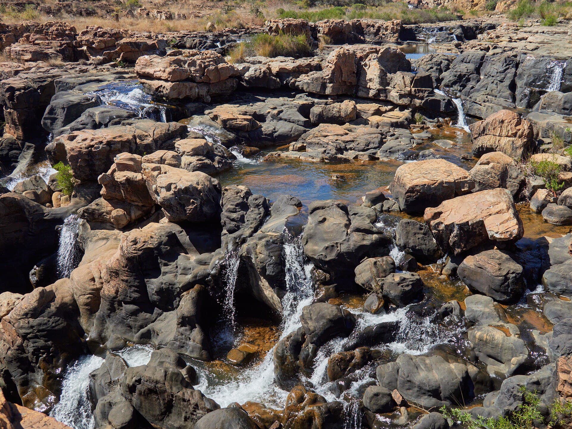 Природа и ландшафтыМпумаланга
Котлы Бурка
Здесь закрученные потоки высверлили в породе глубокие цилиндрические котлы — у слияния радости и печали, которым открывается каньон реки Блайд.
Проверено · 2 источника